
PŪRĀKAUNUI
BLOCK
Where are we?
Location: At Pūrākaunui, in Block IV North Harbour & Blueskin Survey District, some 19 km north of Dunedin City
Contact us
Secretary, Pūrākaunui Block Inc., info@purakaunui.com, PO Box 72, Port Chalmers 9050
0274 733026
PROPRIETORS OF PURAKAUNUI BLOCK
THE ANNUAL GENERAL MEETING OF THE PURAKAUNUI INCORPORATION WILL BE HELD
DATE: Saturday 28 October 2023
TIME: 11:00AM
VENUE: A3 Kaitiaki Ltd Board Room, 51 Macandrew Road, South Dunedin (Parking available)
1. NGA MATE: Bill Dacker, Alison Durry
2. APOLOGIES:
3. TO CONFIRM THE MINUTES OF THE 2022 ANNUAL GENERAL MEETING
4. TO CONSIDER AND RECEIVE THE FINANCIAL STATEMENTS & AUDITOR’S REPORT FOR THE YEAR ENDED 30 June 2023
5. TO RECEIVE THE CHAIRPERSON’S REPORT FOR THE YEAR ENDED 30 June 2023
6. TO ELECT TWO COMMITTEE MEMBERS: Ron McLachlan has indicated he is stepping down. There are two Committee vacancies
7. TO APPOINT AN AUDITOR & SHARE VALUER
8. DIVIDENDS: Having regard to future financial commitments and priorities contained within the Strategic Plan the committee has determined that insufficient funds are available to recommend the payment of dividends
All Welcome
JOY SMITH, Secretary
Pūrākaunui

Urupa

What do we do?

Who are we?

Our vision for the future
History of Māori associations with local land
Based on research compiled by Robert John McLachlan
Prior to European settlement and subsequent survey, all land was communal land.
From about 1300AD, the earliest Maori associations with the Pūrākaunui District were those of the Waitaha tribal grouping. Initially they came as hunter gatherers, most likely from the kaika at Pukekura or Taiaroa Head. By the 1700’s, when the fortified Pa on Mapoutahi had been established, widespread intermarriage had occurred between the Waitaha and the later arrivals of the Kati Mamoe Tribe. Both of these tribes were of a relatively peaceful disposition, and with the bountiful resources available to them, little recorded conflict occurred. This was to change with the arrival of the more aggressive Kai Tahu.
During the 1820’s, as a result of both the inter hapu conflicts and carnage from the attacks by Te Rauparaha, many families from the Christchurch area fled south. Some resettled in the recently established kaika on the edge of the inlet channel at Pūrākaunui.
The 1830’s saw the arrival of sealers, shipboard and shore whalers, and missionaries.
During this time the change from communal to private ownership of land and resources began. Surveys were done, which took no account of the natural productivity or protective features of the land, eg catchments as a system or bush as a protective stabilising factor on steep land. Clearance and conversion to grass became the primary driving force.
In June 1848 Henry Tacy Kemp met with Kai Tahu leaders at Akaroa, where Kemp’s Purchase was agreed – the sale of the major portion of the eastern seaboard of the South Island. Walter Mantell, Commissioner for the Extinguishment of Native Claims, arrived at Purakaunui on 7 December 1848, to give effect to this supposed agreement. He sought and gained agreement with the then principal man, Noa Paka, as to the extent and location of where the reserves were to be created. A census at the time recorded 45 persons residing within the kaika. Noa Paka could not possibly have appreciated the amount of land needed to sustain his people. By December 1848 agreement allowed only 431 acres for the 45 persons then in residence. (Johnny Jones, as an individual, had been granted 2500 acres at Waikouaiti).
The hearing for establishing title for the reserves to be created began in the Maori Land Court in Dunedin on 15 May 1868. The application was in the name of Teoti Te Wahia (brother of Noa Paka) and others.
The court accepted a submission that the area previously agreed to was insufficient for the needs of the people (sections 48 & 50), and section 49, plus the Wharau Wera Wera Reserve (Long Beach) were added during the course of the hearing. The combined Pūrākaunui and Wharau Wera Wera reserved areas then totaled 736 acres, for 28 persons. The land was described as “inalienable”. The title vested the land in six trustees namely; Tiaki Mira, Tamati Tikou, Tiaki Poroki, Kipa Porikaha, Riki Tutei & Haereroa, for themselves, and 22 others as owners.
In 1876 42 acres 3 roods 20 perches were taken for the Railway Reserve, dividing the reserve into two segments, making effective management and utilisation more difficult.
Continuing pressure from European settlers for more land resulted in governments removing the “inalienable” tag and introducing the concept of individual ownership. In 1887 a new partition order was approved by the Court, dividing the three original Pūrākaunui sections into 21 sections, plus an urupa and a boatshed reserve. Most of the sections also had other owners as well. This strategy removed the ability of the trustees to manage the total area on behalf of all the owners, and it was also a way of making it easier to entice individuals to sell their particular portions.
During the 1930’s Depression the sale and alienation of the Wharau Wera Wera Reserve and most of the 178 Acre Half Caste reserve at Heyward’s Point (established in 1880) occurred, due to poor fertility of the block, distance between the blocks and financial hardships.
The 1967 Maori Affairs Amendment Act was another determined attempt by Government to separate Maori from what little land they still retained. The Act empowered the Crown to automatically transfer to general (European) title any blocks with one owner. Sections 49, 60 & 71 at Pūrākaunui were transferred.
On 29 May 1970 the Maori Trustee wrote to the few owners of the Pūrākaunui reserve for whom addresses were held indicating that as the land was seen as being unproductive, he was interested in having this vested in him.
At this point the eventual loss of the total reserve was a threat.
Robert John McLachlan traced 95 of the 187 list of owners. On 8 February 1971 a successful amalgamation application was heard in Dunedin. A meeting of owners was convened in Dunedin on 26 July 1971. The Court confirmed on the 20 February 1973 that the Incorporation be formed.
In 1975 the Government commissioned a nationwide coastal survey aimed at tidying and clarifying issues of title and ownership. At Pūrākaunui a supposed unformed paper road was discovered on the seaward side of the original reserve, and attaching to this was some 37 ha of accretion or new land. It was determined that the paper road was Crown Land and likewise the accretion also. In 1989 an application was made to the Court seeking a declaration that the paper road was Maori Land, as was also the accretion attaching to it. The Crown produced a plan of 1891 showing the supposed road, but this had never received approval from the Court. On 17 February 1993, the Court suggested the matter be referred to the Waitangi Tribunal. The matter was settled under the umbrella of the Ngai Tahu “undergrowth claims”. In March 1998 a Deed of Covenant was executed accepting the Crown’s offer to revoke the scenic reserve status and vest the land (37 hectares) as fee simple estate in the Pūrākaunui Incorporation. The unformed road to the Urupa was stopped provided the Incorporation agreed to an access easement. The Incorporation gifted a marginal strip to provide public walkway access from the legal road end to Mapoutahi (i. the reservation of a 100 metres wide access marginal strip attached to the high water mark on the Ocean Beach and ii. A similar width strip from where the 1868 seaward boundary had been, abutting the cliff faces). The Crown agreed to fence the latter walkway. Sadly, these agreements have not been adhered to, creating an access to this most beautiful beach now treated as a road for trail bikes and vehicles.
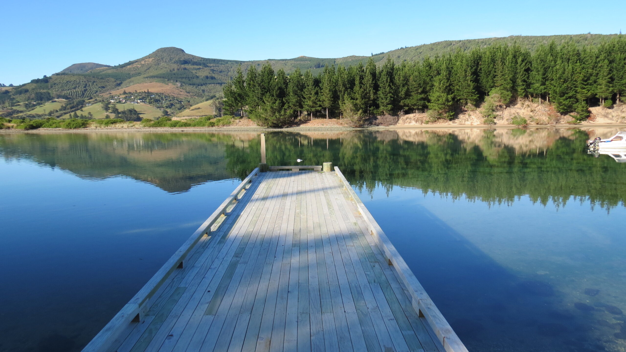
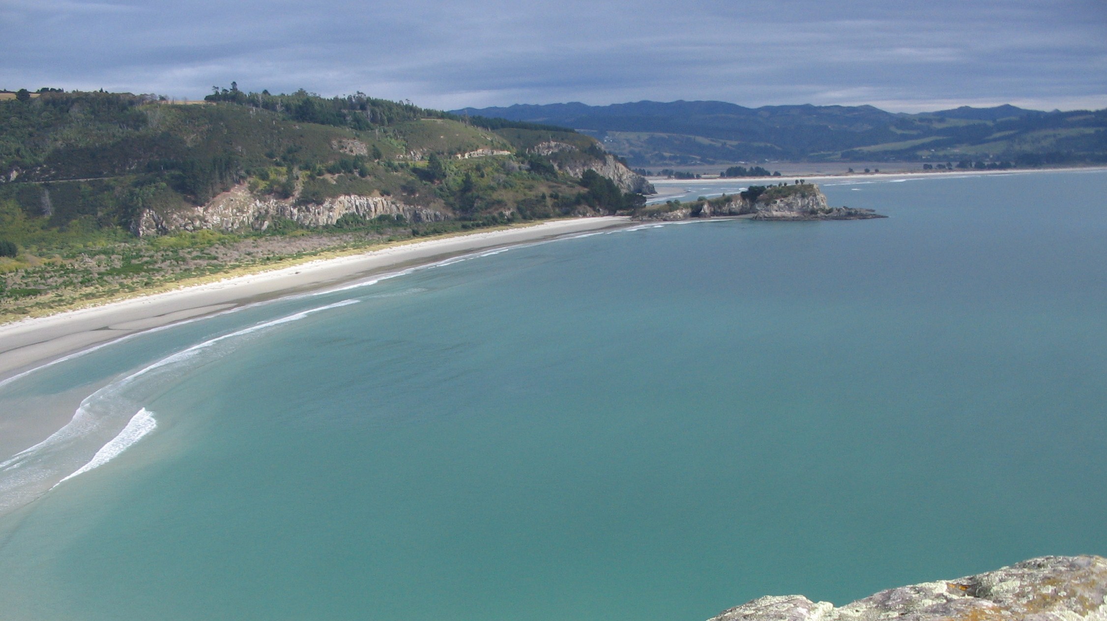
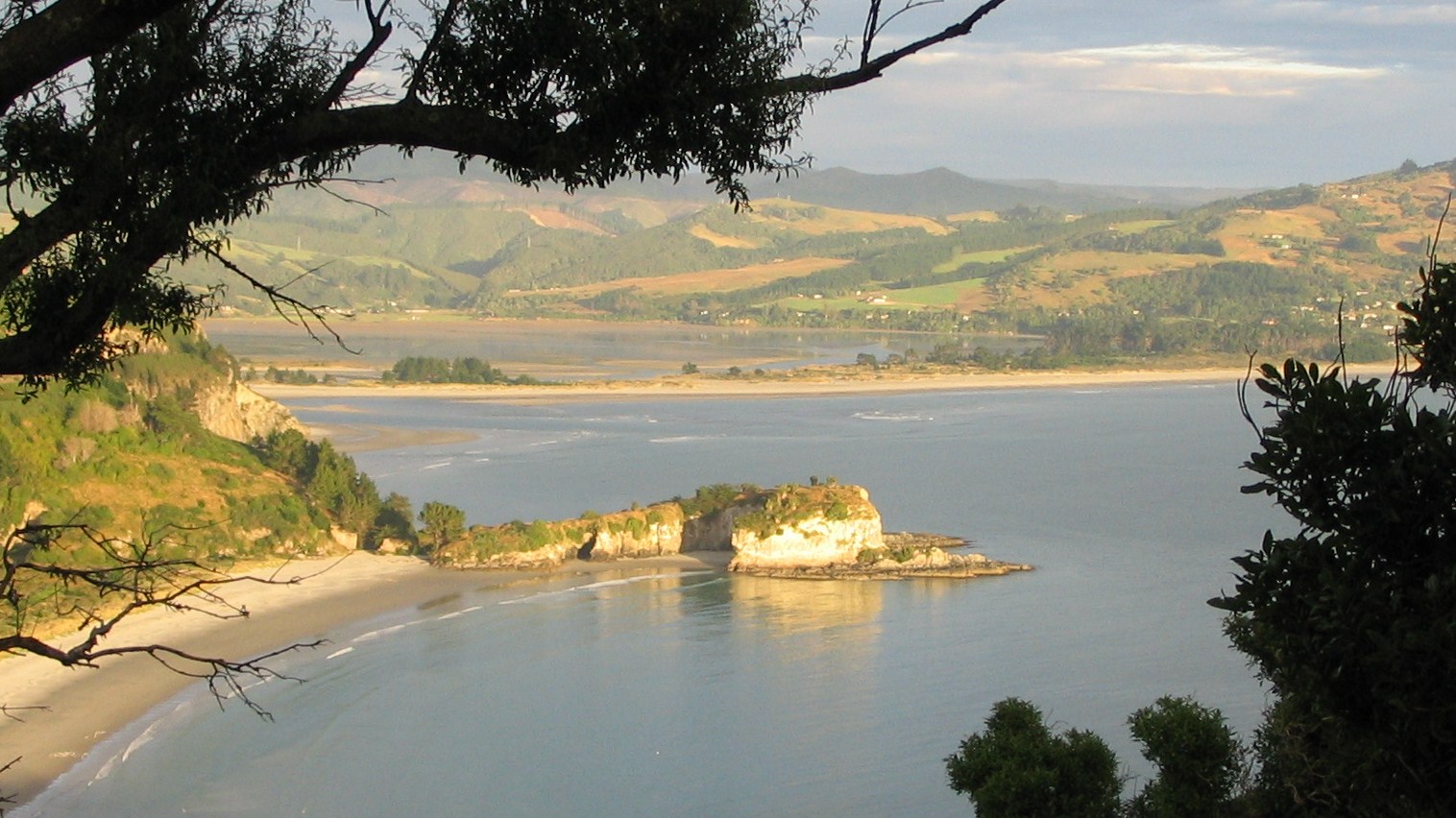
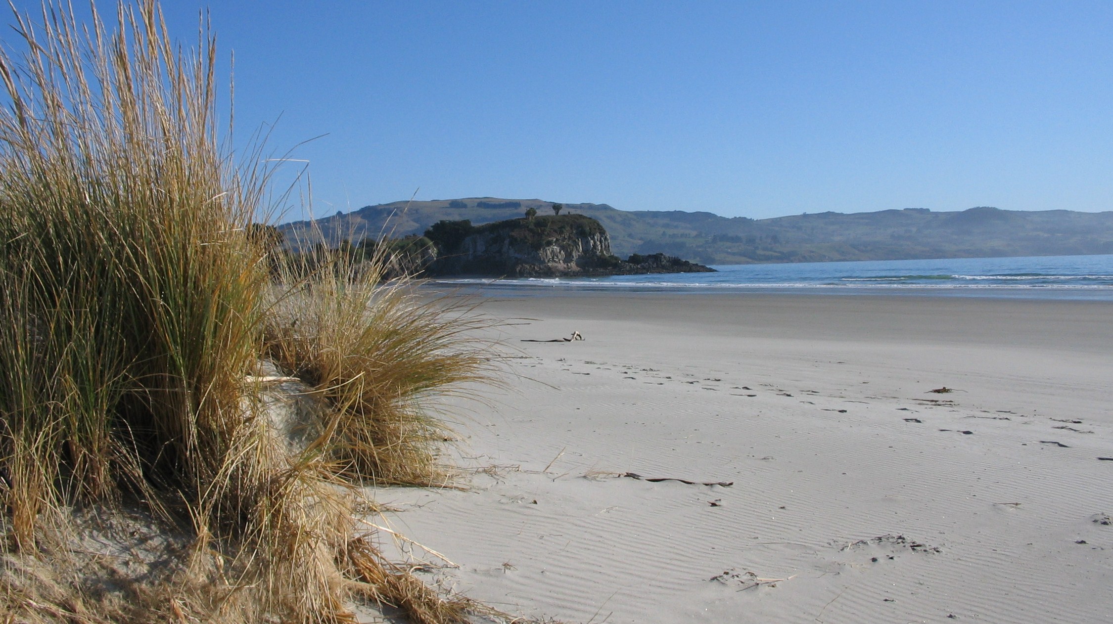
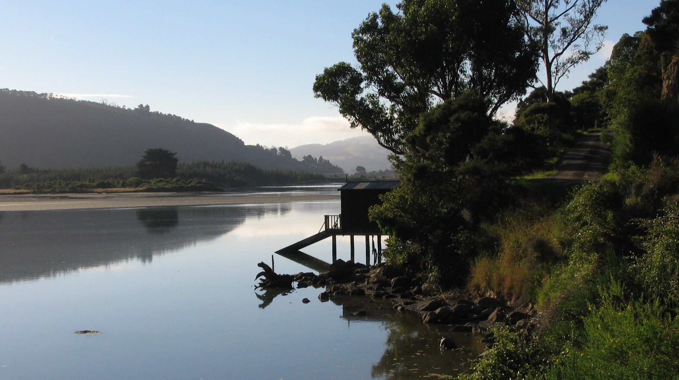
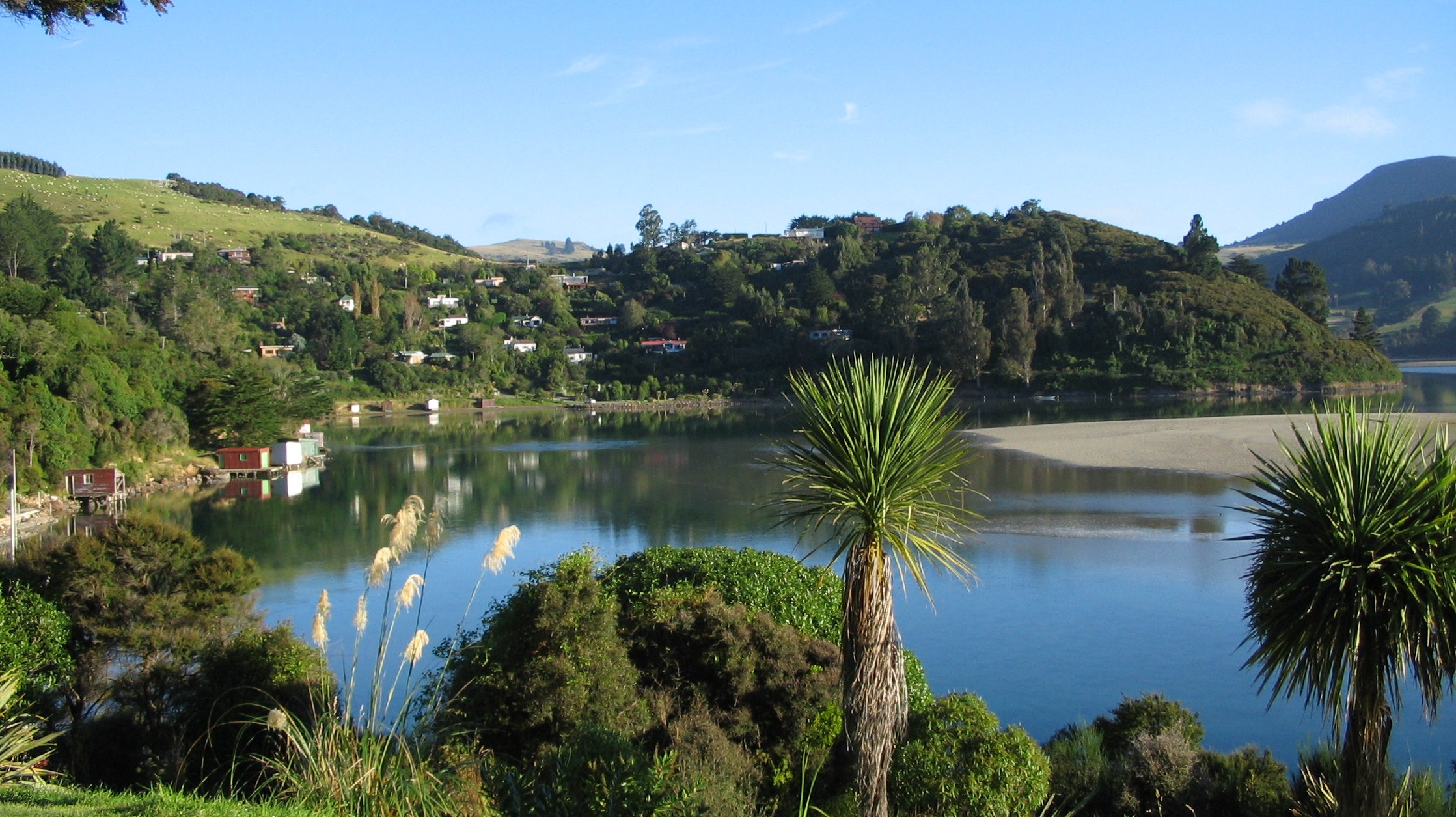
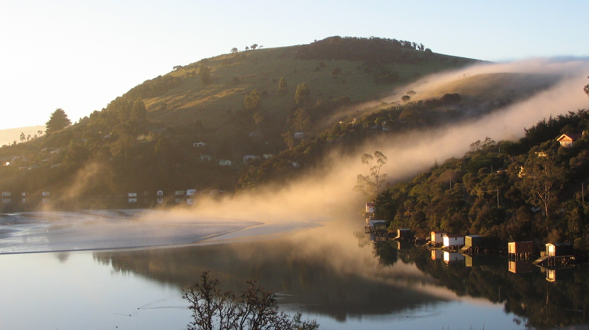
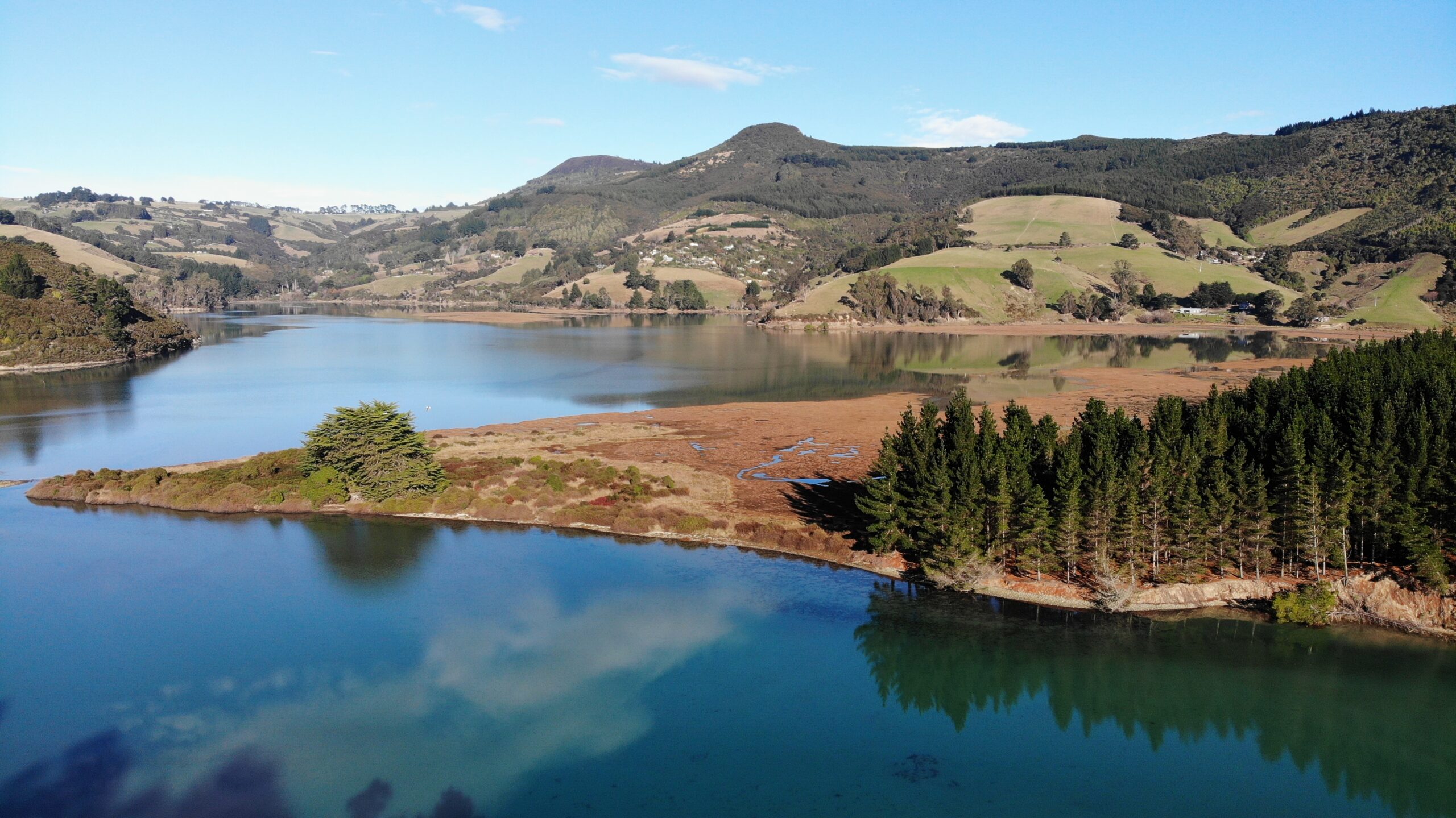
Pūrākaunui gallery


Contact us